
Jalavahini Technologies offers comprehensive survey and data acquisition solutions throughout Karnataka and parts of the Country. Our survey services encompass a wide range of areas, including topographical, water supply projects, cadastral, utility, property, and bathymetric surveys. Equipped with cutting-edge technologies, our facilities enable us to conduct diverse survey types such as UAV, DGPS, ETS, Aerial, LiDAR, GPR, and Levelling. We are committed to delivering high-quality, end-to-end services to meet the unique needs of our clients.
Handling vast geographical areas invariably involves dealing with extensive datasets associated with those locations. Efficiently processing these large datasets is crucial to generate accurate solutions in a timely manner. Jalavahini Technologies has built a reputation for delivering high-quality solutions promptly. Leveraging state-of-the-art infrastructure and a team of highly qualified experts, Jalavahini Technologies has become the preferred choice for data processing needs. Clients can rely on Jalavahini Technologies to deliver reliable and timely results that meet their requirements with excellence.

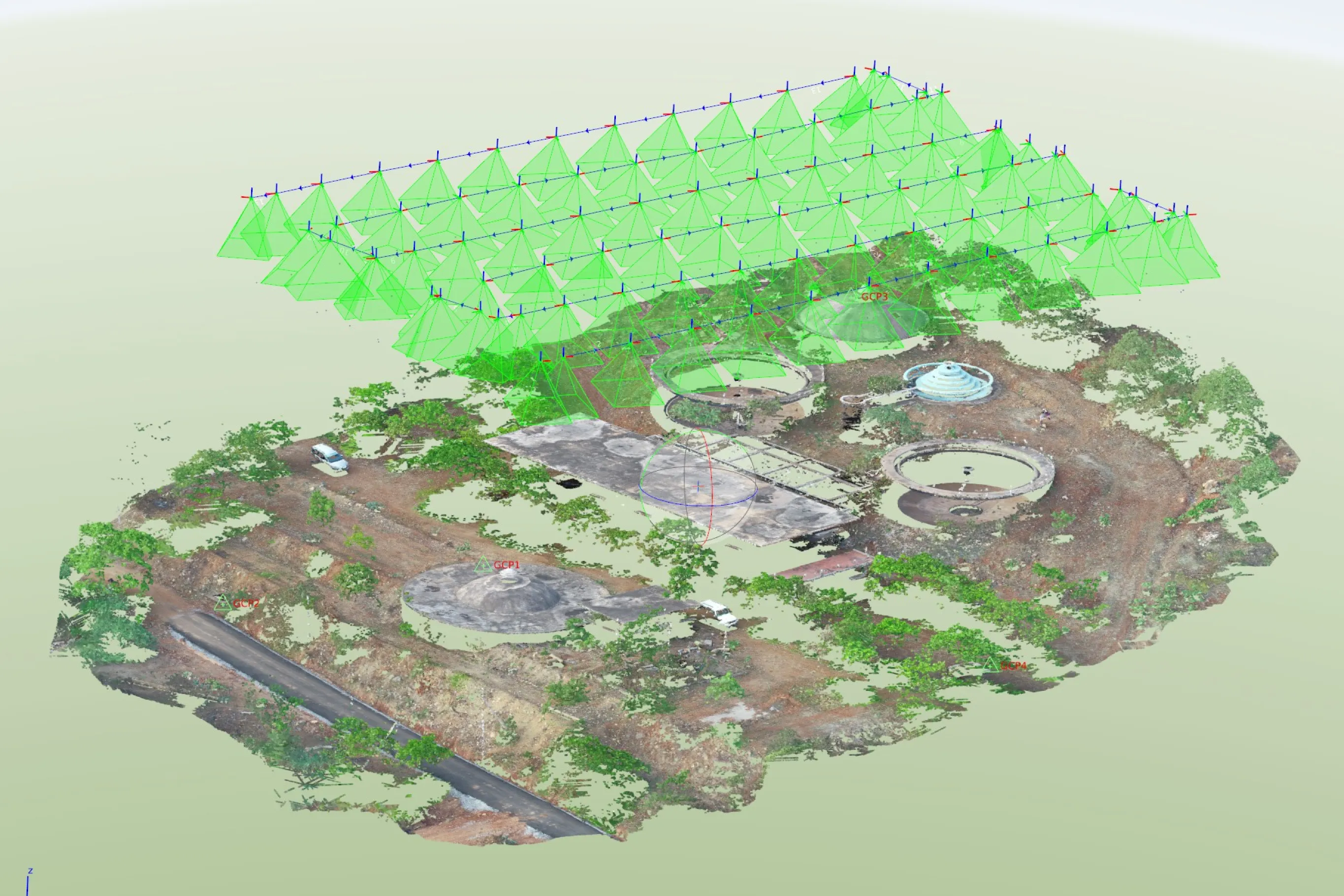
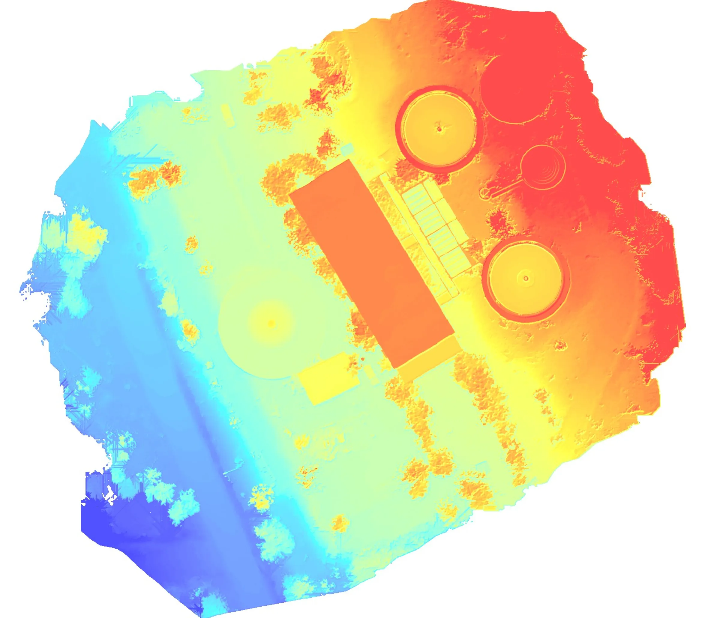
Drone mapping has emerged as a transformative technology that is revolutionizing the way we collect, analyze, and visualize spatial data.At the heart of drone mapping lies whereJMS Technologies’ability to capture high-resolution aerial imagery and data with unmatched precision and efficiency. Equipped with advanced cameras, LiDAR sensors, and GPS technology, drones can survey vast areas in a fraction of the time it would take with traditional methods. This speed and accuracy translate into significant cost savings, making drone mapping an attractive solution for various applications.
Jalavahini Technologies extensive GIS expertise and the wealth of experience possessed by our subject matter experts (SMEs) serve as the driving forces behind accurate data analysis and the utilization of cutting-edge algorithms to demonstrate and recommend GIS technologies. Over time, JMS Technologies has successfully completed numerous data analysis projects, skilfully resolving intricate challenges throughout India, earning accolades from various State and central governments for our exceptional work. Our commitment to excellence and innovative approach makes us a trusted partner in the field of GIS solutions.
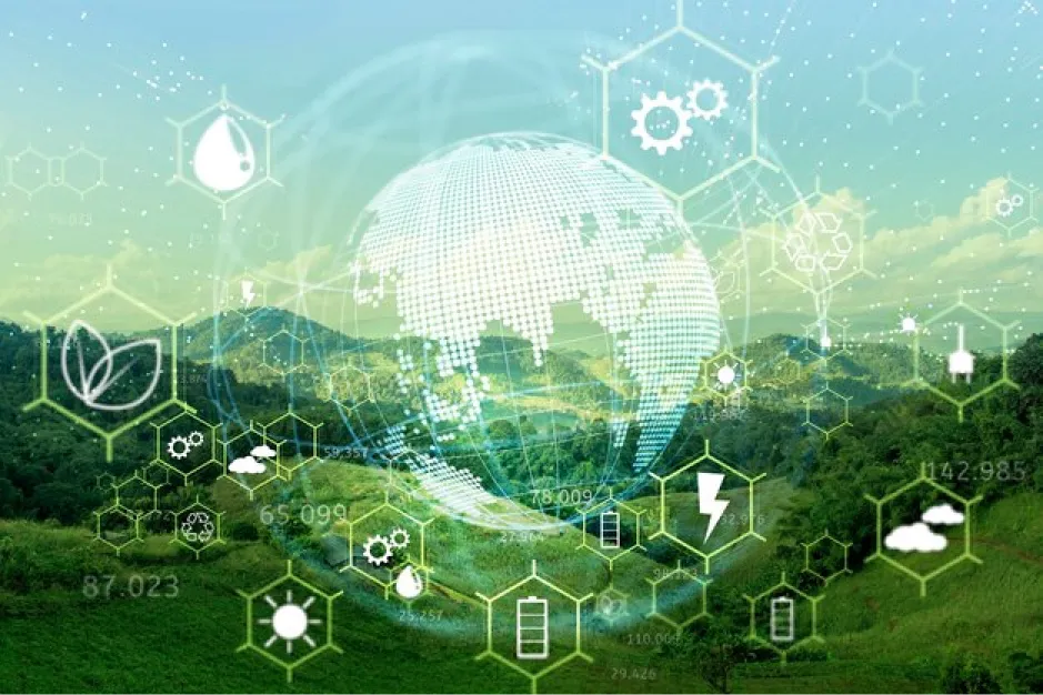
Through thoughtful planning and collaboration, JMS Technologiescan ensure the sustainable use of resources, minimize waste, and safeguard ecosystems. With cutting-edge tools like GIS and remote sensing, we make informed decisions to preserve biodiversity and tackle environmental challenges. Join us in the journey of responsible stewardship, as we nurture Earth's wealth and secure a brighter future for generations to come. Let's work together to sustainably manage our natural resources and protect the planet we call home.
Jalavahini Technologies extensive expertise in GIS and remote sensing has propelled us to the forefront as the leading mapping company in India. Our proficiency in these areas allows us to produce stunning and precise maps that stand out for their beauty and accuracy. Our mapping services encompass a wide range of applications, including thematic mapping, natural resource mapping, and urban mapping. Whether it's visualizing specific themes, identifying and managing natural resources, or mapping urban landscapes, JMS Technologiesoffers comprehensive and top-notch mapping solutions to cater to diverse needs.
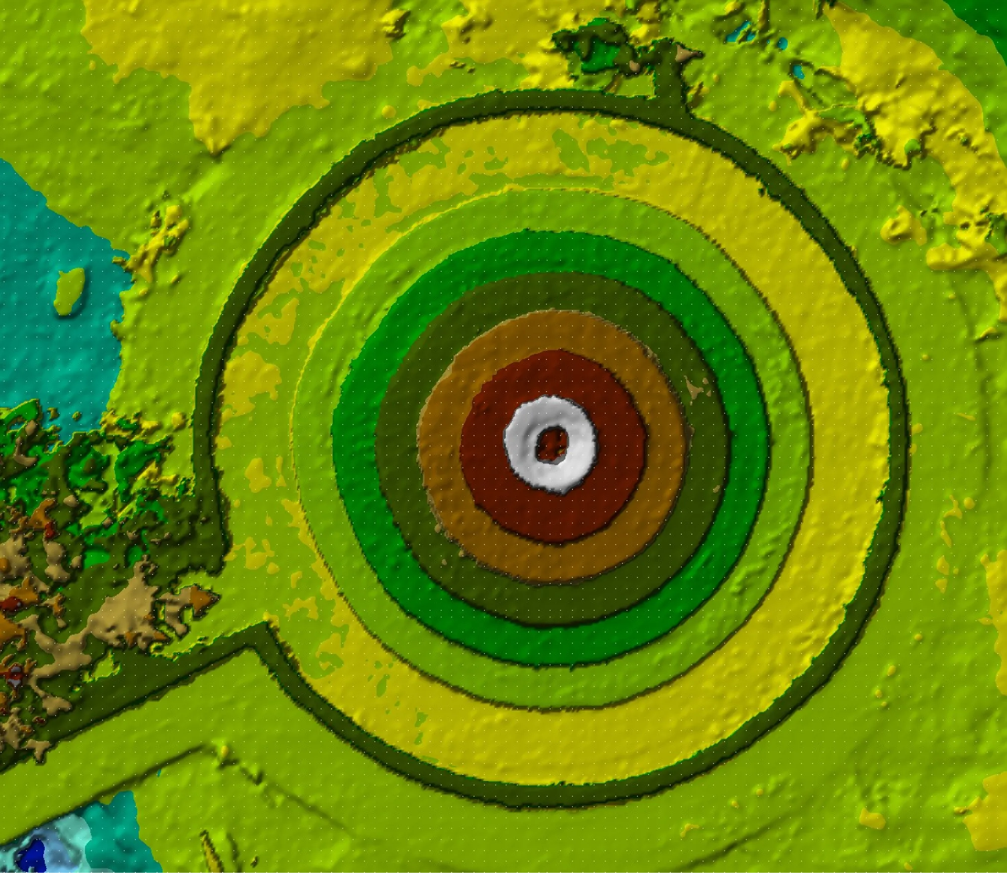
In the realm of engineering and geospatial technologies, 3D modeling has proven to be a game-changer. JMS Technologies’has equipped with cutting-edge technologies and facilities where Engineers can create intricate and detailed 3D representations of complex structures, mechanical components, and entire systems. JMS Technologies’ enables them to identify potential design flaws, optimize performance, and visualize projects in a virtual environment before construction even begins. As a result, costly errors are minimized, and projects can be completed with greater efficiency, precision, and cost-effectiveness.
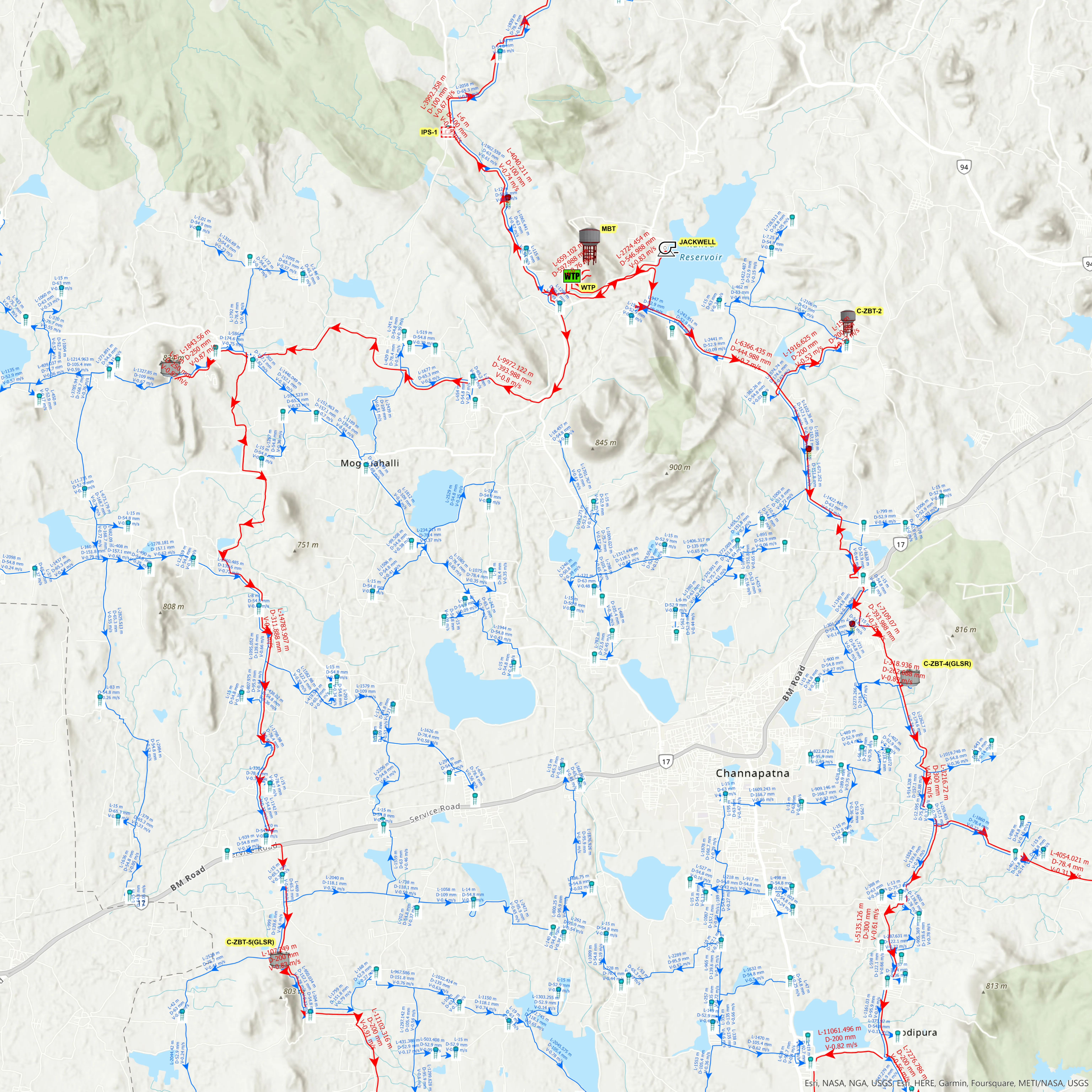
WebGIS is a powerful technology that brings the world of spatial data to your fingertips where JMS Technologiesequipped with tools and expertise to assist in the integration of 3D modeling, drone imagery, and augmented reality into WebGIS platforms opens up new dimensions of visualization and analysis, providing a more immersive and dynamic user experience.This transformative technology is changing the way we understand and manage our environment, making it an indispensable tool for various industries and applications.
